
Mag X GEO.
See the bore as it develops.
A professional locating platform combining a 7-inch touchscreen, GPS-powered data capture and clear real-time bore views.
Explore the product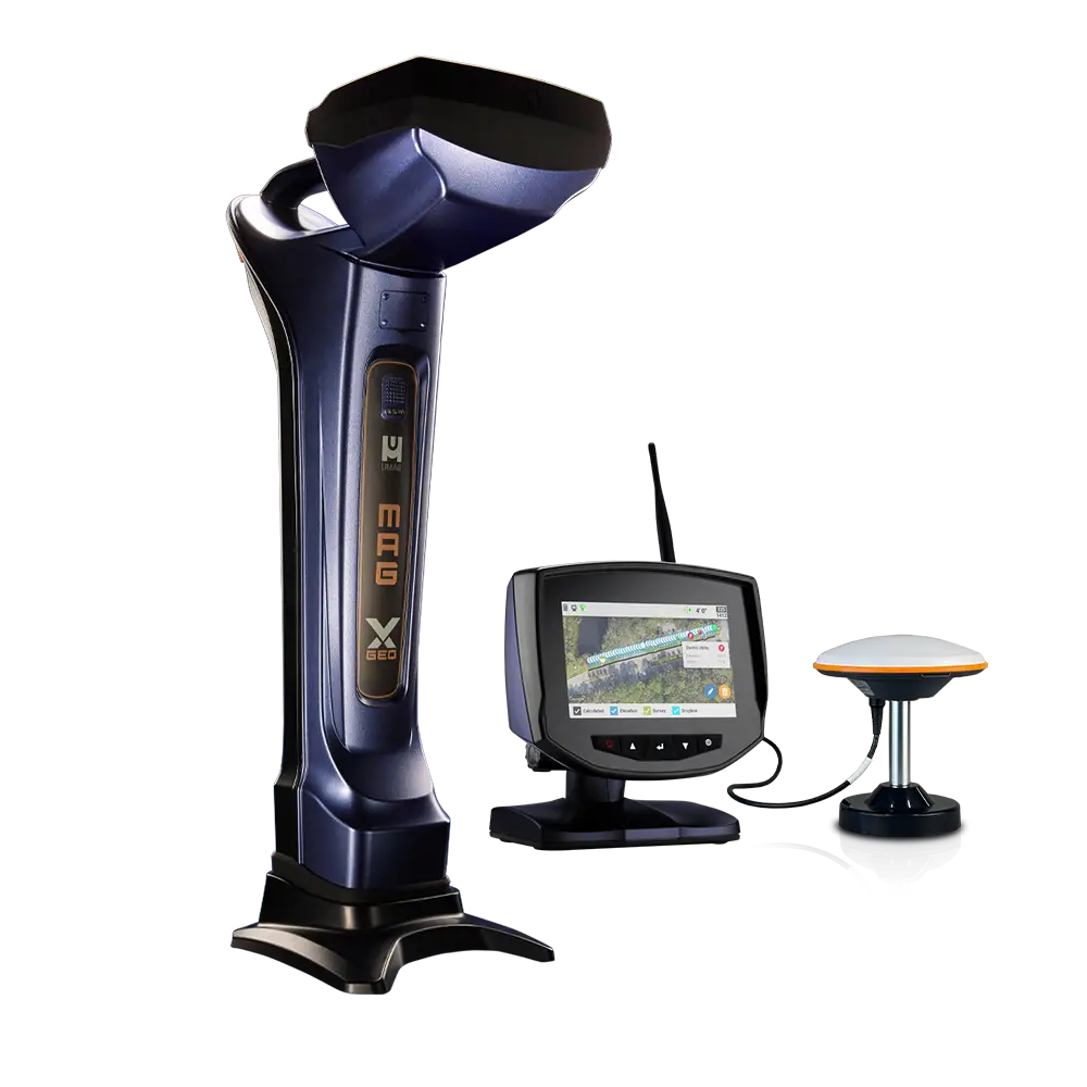
Locate, log and map from one platform.
Mag X GEO builds on Underground Magnetics’ trusted receiver platform with integrated tools that help crews capture rod data, review the bore and reduce post-job administration.
- Log pitch, depth, roll, temperature and GPS data
- Review progress through chart, map and rod-table views
- Guidance tools for target alignment and projected depth
- Practical package support through TA Drilling
A connected guidance workflow.
Configure the system around the required transmitter, field display and bore-data workflow.
Mag X GEO Receiver
A 7-inch touchscreen receiver designed around clear at-a-glance field information.
GPS bore logging
Capture rod-by-rod bore information and utility locations as work progresses.
Guidance tools
Use charting, mapping, Dropline, Pitch Guide and Bore-To tools to support the planned route.
Match the product to the application.
Define what must be captured for the client and job record.
Match mapping and guidance tools to the bore profile.
Select frequency, power and operating depth.
Plan setup, training and ongoing system guidance.
Need a clearer bore record?
Talk to TA Drilling about the Mag X GEO package and GPS workflow.